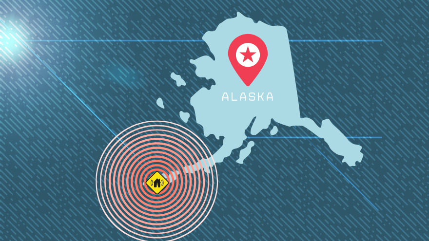
Alaska was hit by a 7.2-magnitude earthquake that triggered a brief tsunami warning.
The earthquake was recorded just after 10:45 PM in the state’s southern half, including the Aleutian Islands, the Alaskan Peninsula and Cook Inlet regions which are 615 miles southwest of Anchorage. The July 15 seismic event was initially reported as having a 7.4 magnitude but was later downgraded to 7.2.
At least eight aftershocks were recorded in the area following the earthquake. One aftershock – recorded three minutes after the quake – reached a 5.0 magnitude, per Alaska News Source.
The tsunami warning issued for coastal Alaska from Chignik Bay to Unimak Pass was lifted approximately one hour after it was issued. The National Weather Service said the quake occurred 13 miles below sea level. Area residents were warned that small changes in sea level were possible.
The Alaska Earthquake Center reports that the July 15 earthquake “is yet another major event within the span of 3 years that ruptured the subduction zone interface from the Shumagin Islands in the southwest to Kodiak Island in the northeast.”
“The Shumagin Island region has been recognized as a seismic gap, a stretch where no major earthquakes had occurred recently, prior to these three large earthquakes,” states the AEC. “The recent sequence of events partially filled this gap.”
Residents reported hearing tsunami sirens and preparing to find shelter. Tsunamis are capable of traveling through the ocean’s depth at approximately 430 miles per hour.
“When a tsunami is imminent you need to get to high ground,” Michael Bostock, a UBC professor in the Earth, Oceans and Atmospheric Sciences department, told CTV News. “High ground will save you and you want to be several tens of metres above shoreline.”
Thousands of earthquakes are recorded in Alaska every year although most are too minor to be felt, per Fox 29.
According to the United States Geological Survey:
Large earthquakes are common in the Alaska-Aleutian subduction zone. Since 1900, nine other earthquakes M7 and larger have occurred within 250 km of the July 16, 2023 event. The largest of these was a M8.6 earthquake on April 01, 1946, which occurred about 150km to the west-southwest of the July 16, 2023 earthquake. The 1946 M8.6 generated a tsunami that devasted the lighthouse on Unimak Island and swept away its five occupants. Tsunami damage also occurred at Dutch Harbor and Ikatan Island in the Aleutian Islands, on the west coasts of North and South America, and in Hawaii. At Hilo, Hawaii, the tsunami took 159 lives and caused one death in California. The Alaska-Aleutian Trench also hosted the second largest earthquake recorded by modern seismic instrumentation, the M9.2 March 27 1964 earthquake in the Prince William Sound region of Alaska.
Authorities in Hawaii and British Columbia publicly stated residents were not under any tsunami-related watches or warnings.
“This earthquake is being evaluated. There are NO watches, warnings, or advisories in effect for BC at this time,” tweeted Emergency Info BC around 3:30 AM on July 16.